Description
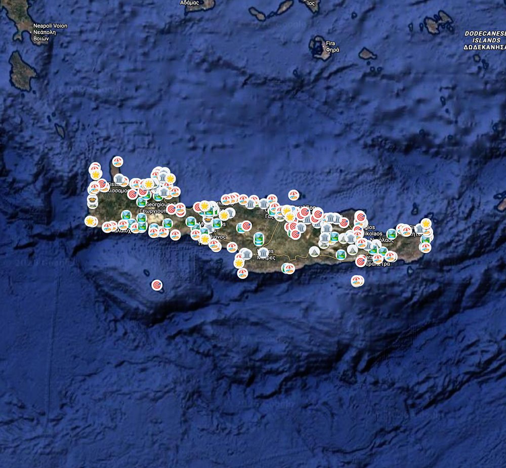
The Crete Travel Map is a set of ten interactive Google Maps lists
covering the whole island — from the lagoons of the north-west to
the gorges of the east.
WHAT’S INCLUDED
Ten Google Maps lists:
— Must see
— Beaches (87 places)
— Hikes & Gorges
— Places to visit (history, monasteries, museums)
— Viewpoints
— Activities & Boat trips
— Places to eat (4.5★ and above)
— Parking
— SOS (hospitals and pharmacies)
— You may need (car hire, supermarkets, airports, ferry ports)
Every pin has a note in English and Polish — what to expect,
how to get there, what to watch out for.
BONUS PDF GUIDES
Also included as downloadable PDFs:
— Map links with QR codes (A4 and phone format)
— Packing checklist (A4 and phone format)
— 3-day itinerary from Chania
— 3-day itinerary from Heraklion
— 7-day itinerary across the whole island
All itineraries available in English and Polish.
HOW IT WORKS
1. Purchase and you get instant access to a ZIP file
2. Open the PDF with map links
3. Click any list — Google Maps opens
4. Press Save — the list lands in your Google account
5. Navigate as usual from your phone, online or offline
No app needed. Works on any phone with Google Maps installed.
The lists stay in your account until you delete them.
Reviews
There are no reviews yet.